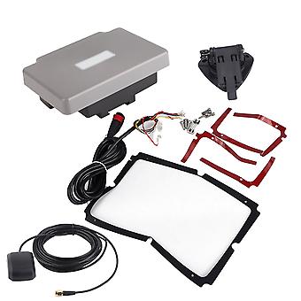
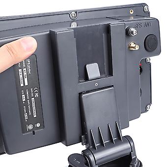
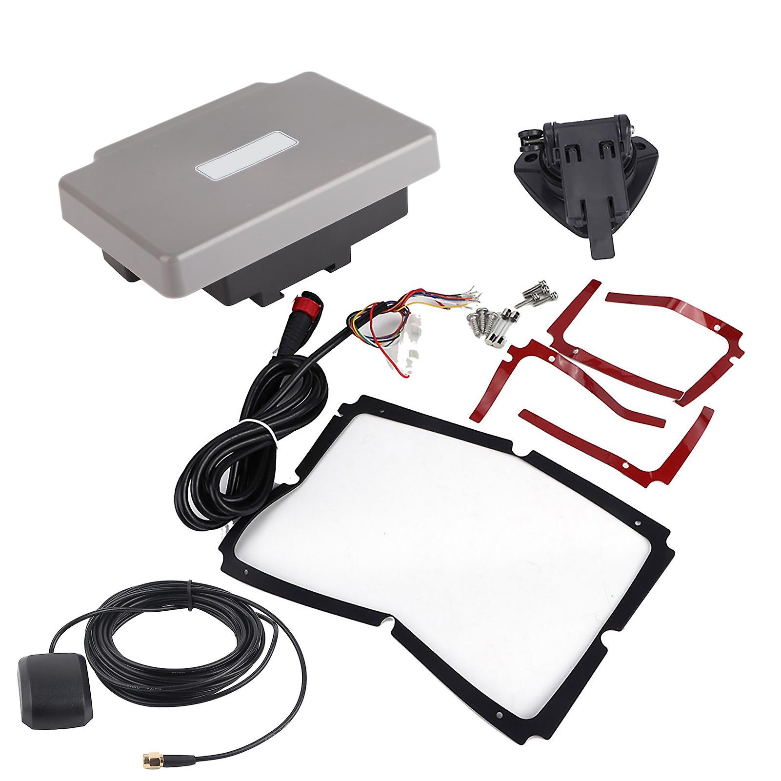
Transponder Combo Navigator,7in Navigation Chart Plotter GPS Navigation GPS Chart Plotter Rapid Response
doručenie ZADARMO
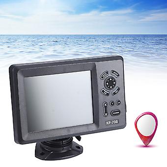
Transponder Combo Navigator,7in Navigation Chart Plotter GPS Navigation GPS Chart Plotter Rapid Response
- Značka: Unbranded
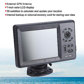
Transponder Combo Navigator,7in Navigation Chart Plotter GPS Navigation GPS Chart Plotter Rapid Response
- Značka: Unbranded
Politika vrátenia 14 dní
Politika vrátenia 14 dní
Spôsoby platby:
Popis
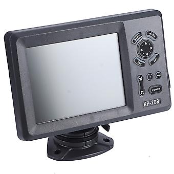
Transponder Combo Navigator,7in Navigation Chart Plotter GPS Navigation GPS Chart Plotter Rapid Response
- Značka: Unbranded
- Kategória: GPS navigačné systémy
- Fruugo ID: 278691211-619782560
- EAN: 9797733519282
Dodanie a vrátenie
Odoslané do 10 dní
-
EXPRESS: Zadarmo - Doručenie medzi st 07 januára 2026–št 08 januára 2026 - Zadarmo - Najrýchlejší
-
STANDARD: Zadarmo - Doručenie medzi st 14 januára 2026–st 21 januára 2026 - Zadarmo
Doručenie od Čína.
Snažíme sa, aby sme výrobky, ktoré si objednáte, doručili celkom v súlade s vašou špecifikáciou. Ak by ste však dostali neúplnú objednávku alebo iný tovar ako ten, ktorý ste si objednali, alebo existuje nejaký iný dôvod, prečo nie ste s objednávkou spokojní, môžete objednávku alebo niektoré produkty z nej vrátiť a za tovar dostať plnú náhradu. Pozrite si všetky pravidlá vrátenia